The Devil Wears

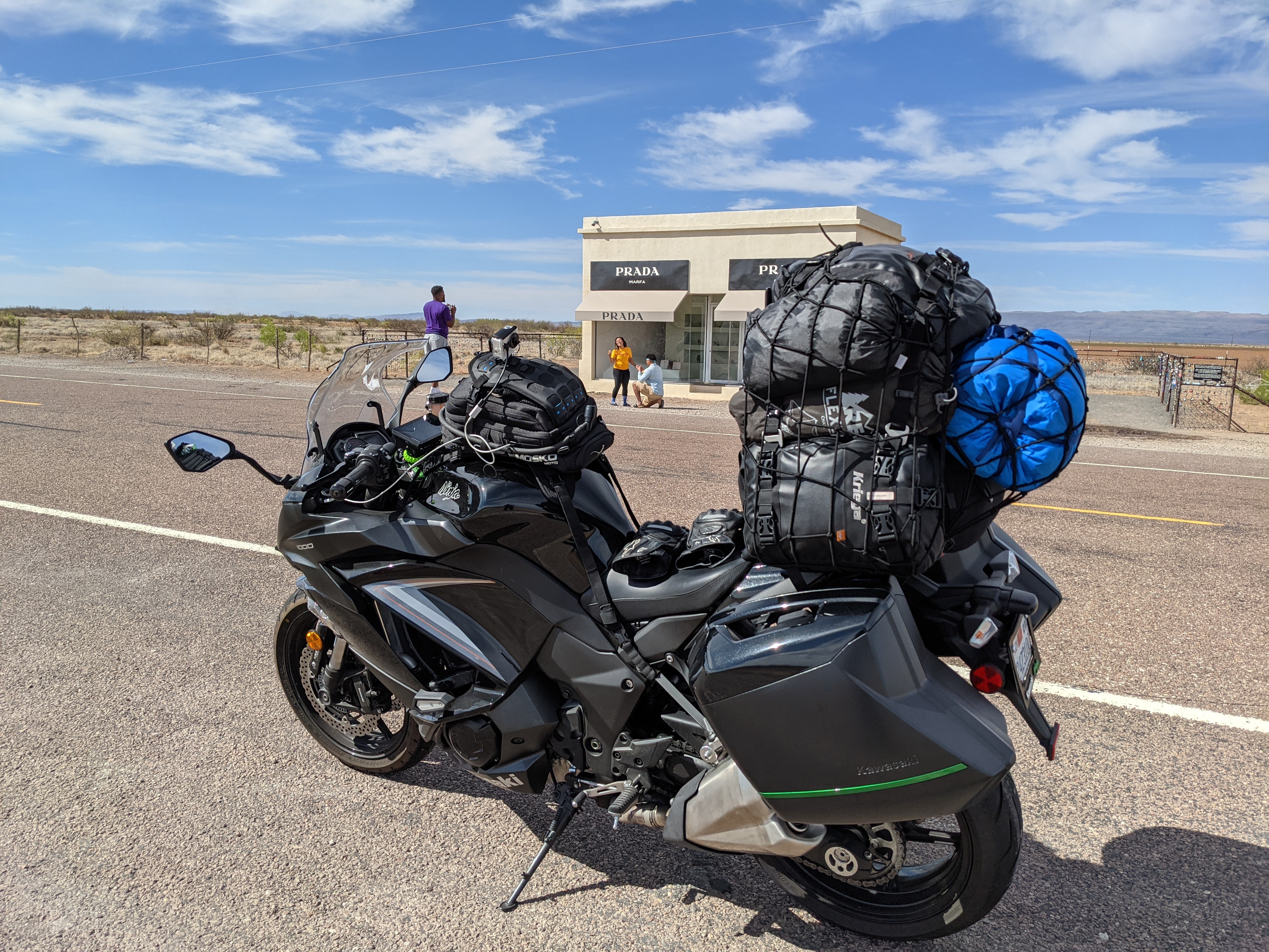
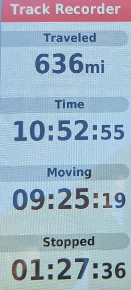
I started today earlier than my normal on a rather restless night. Between appliance noises and other guests parking checking-in for the evening I was up every few hours. The parking lot was more full than I expected when I was checking out at 0600 (local time) and heading out from Las Cruces, NM. I continued East again on the 10 towards Texas and I also forgot to account for yet another time zone. The lack of traffic or even other vehicles on the road is not something I am used to but I am also not in Kansas California anymore. I passed through El Paso, TX and once I was through there I remember seeing a whole lot of nothing for a while in all directions. I experienced that more than once today, nothing just land (see satellite images if you are curious). Instead of taking the 10 all the way to San Antonio, TX I detoured down U.S. Highway 90 to see an art installation. I only found out about this location while reading a book I received for Christmas specifically for road trips in the USA (thank you again, you know who you are). Otherwise I would have taken the basic more traveled route across the 10.
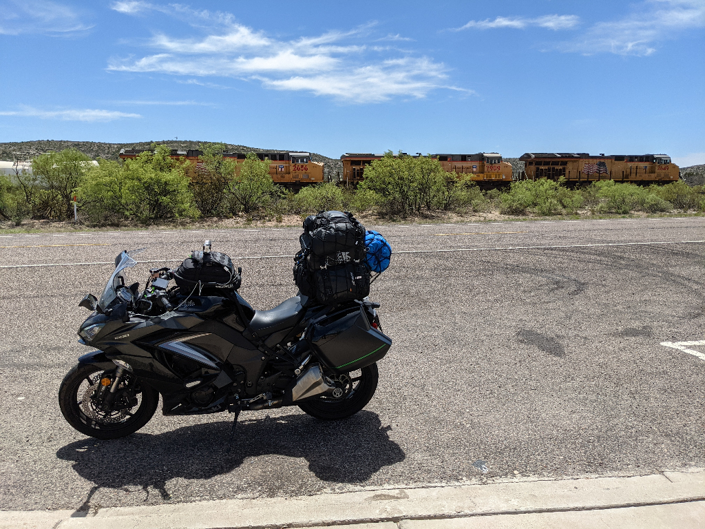
I would advise having offline maps for GPS navigation for parts of the country or just parts of Texas (hint: I had no cellular service when I was done taking photos for the gram at Prada). Instead of heading back towards the 10 it said continue on the 90...for what felt like forever. There are stretches of highway when it is just me, the road, and open spaces for whatever the proper unit of measurement should be: acres, miles, etc. and sometimes I would be graced with an occasional train.

It was a sobering reminder that if anything happens it is possible no one would know for a while (but sooner in my case because you, the reader, know that I am on a trip and expect update(s)!) and with spotty cellular service I could not even call for help. Even if I could call for help where would they come from and how long until they arrived? The area I was riding through was not densely populated nor did I see many services between or in some of the towns I passed through. While there are plenty of picnic stops and historical markers (I should have stopped at one or some but aside from a plaque I did not see anything besides wide open space, very common) there is a severe lack of public washrooms and call boxes so prepare accordingly should you choose a similar adventure. The highway was near the border of Mexico in some sections. At least it looked like it was near the border on the map but otherwise it all looked the same to me: open land with no inhabitants. At some point I passed through a U.S. Border Patrol checkpoint and they only asked if I was a U.S. Citizen before allowing me to continue on my journey. The single question was a huge relief because dealing with the bags would have been a hassle to unload/load if it came to it (drawing from past experience crossing the Canada border in 2015, good times). I rode through some small (remote?) towns all along the way which required decelerating for the stretch of town. That meant going from 70-75 miles per hour, varying down to anywhere between 35 to 55 miles per hour. I did get some great gas mileage today which is probably due to consistent speed ("cruise control" aka throttle hand), keeping the RPM lower than normal, and flat areas. I did wear my compression socks and skiveez since I knew it would be a longer day (both from Moto-Skiveez). The Corbin saddle seems to have helped improve my endurance as well or everything I feel is broken. Only time will well.
tl;dr it was a very casual ride today from Las Cruces, NM to San Antonio, TX.
