The Loneliest
It happened again. I fell asleep typing out my thoughts for the day. I cannot tell you the number of times it has happened on this trip and it is certainly not the last time it will happen. I woke up enough to charge my devices but fell back asleep. I went to bed knowing I would have to deal with packing in the morning. It was not my best decision but I was at least a little rested. I checked out, loaded up the bike, and fueled up to hit the road again.
Today's goal was to ride a stretch of US 50. This stretch is also known as One is The Loneliest Road in America. I departed Salt Lake City bound for Ely, NV. As I rode towards it I passed the exit for Utah Motorsports Campus which triggered some fond memories. In 2019 I traveled here with my father to participate in Ford's ST Octane Academy and we had a great time.
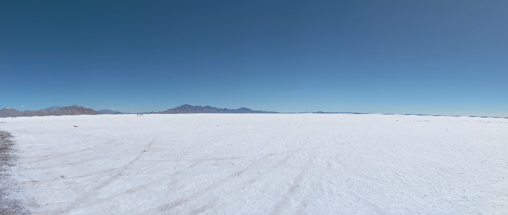
I continued West towards the Silver State and right before crossing state lines stopped at a rest area. The rest area for Bonneville Salt Flats.
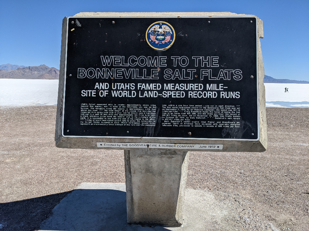
I would not be setting any land speed records today. As much I would like to go fast there is a time and place for the people with the skill to handle it. I am not one of those people nor do I have the sponsors to support such a hobby.
I made sure to top off my gas tank after the rest area at Sinclair...at $5.099/gallon for premium. There was a sign indicating souvenirs and t-shirts inside the store. I happen to like both of these things so I went inside to see what money could buy me. Along with the traditional convenience store selection (food, beverages, and other things) there is: mugs, can coolers, hats, postcards, and shirts (behind the counter). I saw a couple designs I liked so I asked if the prints were available in medium or large. They only had the shirts I was interested in size XL so I declined and left. Now a friend said I should have just used it as a muumuu and I would be lying if I said the thought did not cross my mind. Maybe I should have so I could fully embrace work from home. Now I wonder if the only available size is indicative of popular sizes, popular size, or cost. There was an additional charge as well for anything larger than XL.
After leaving the exorbitant Sinclair I hit US 93 towards Ely. I was finally back in Pacific Time and happy. I no longer needed to manually calculate the time offset in my head from the motorcycle clock. I never adjusted the motorcycle clock so it would only be a quick glance to see if it was an appropriate hour to call people back home. I actually chuckled to myself as I crossed state line while talking to a friend. They asked if I was back to Pacific Time and I paused until I crossed the welcome sign to Nevada. After crossing the sign I said yes and laughed. It was a good thing I fueled up because once I was on 93 I saw a sign: No services next 130 miles. So I would advise filling up in West Wendover should you choose this route towards Ely.
US 93 also happens to be a tour route for Pony Express National Historic Trail. While mostly a desolate landscape there was on occasion signs of human life (excluding pavement) including the only visible building for miles with graffiti. I rode for miles in the barrens until I stumbled upon the Schellbourne rest stop. A former town used as a stop over for Pony Express that is now a ghost town.
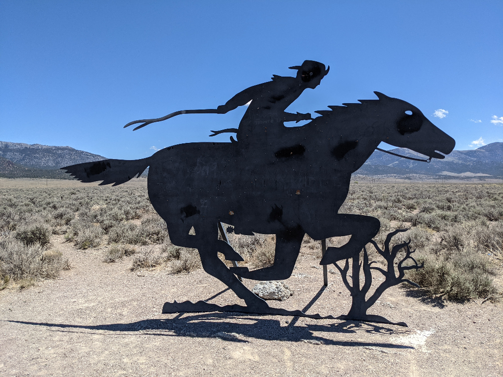
The rest stop had some historical information available about Pony Express and the above silhouette. I stopped to use the outhouse before continuing my journey.
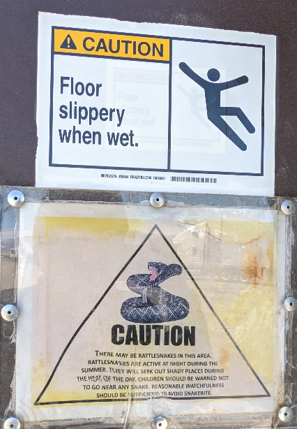
Now is it slippery because a rattle snake scared the piss out of me or someone? I almost considered turning around because snake(s) but I did not want to be guilty of being Homer again, ending up like Abe. Who knows when the next rest stop would be available? Thankfully there was no visible snake or audible rattle.
I finally made it to Ely the planned start of my route down The Loneliest Road. I was only going to stop for fuel until I saw a sign for a ghost train (emphasis mine). I like trains. I followed the directions and ended up at Nevada Northern Railway National Historic Landmark. I walked around the depot building and wandered into the gift shop. I did not have time to wander the museum today and I had missed the train ride for the day. I will certainly have to make a return trip to Ely and I can also visit Great Basin National Park when that happens.
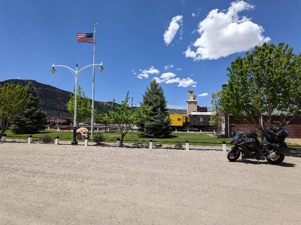
Yet another caboose.
Once I departed the train depot I was finally heading west on US 50 towards home, California. Surprsingly enough the only doe with fawn I have seen crossing on this trip was on US 50. This was on a section without a warning sign! I did see other interesting animal signs at some points in Nevada with what appeared to have cattle with text: open range.
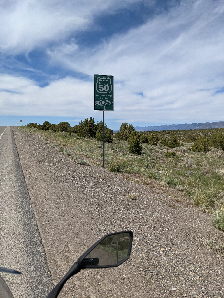
This particular sign is just outside Eureka, self-proclaimed:
The Friendliest Town on the Loneliest Road
I stopped for fuel and went on my way. Before leaving the main street of the town I saw a large fire department building. Well it seemed large for the town, but perhaps they service other areas. How do volunteer firefighters receive support?
I passed through Austin, NV and saw a sign for Stokes Castle. I swiveled my head around but I could see no castle. It must have been just beyond sight as I passed the last gas station I would see for miles...I just never learn. In theory I should have enough gas but maybe I should factor in conditions such as inclines.
It was not common to see another vehicle near me unless it was passing by oncoming traffic or going through town. However, there is one section under construction constrained down to (1) one lane. So I eventually I found the other westbound vehicles in queue stopped by the construction crew. There was a warning sign for loose gravel so I proceeded with caution once traffic was led by a pace pilot vehicle. We were cruising around 30 miles per hour and then it hit me. It being a piece of gravel and struck my arm. Nothing fatal but still enough to exclaim, ow! After the stretch of construction everyone changed their pace up and we were spread out again.
At some point in the distance I could see a strange figure ahead. It did not appear to be a vehicle but it was certainly large enough to catch my attention. As I approached the object was a human riding a bicycle with a small trailer and cardboard sign: Middlegate Station (I think?). I slowed down and passed on their left. As I looked in the mirror I could see them waving and I returned a wave, while accelerating away without the use of my legs. Where did this person start? Where were they going? How long have they been riding? So many questions racing through my head.
I started to check for gasoline stations and Fallon, NV would be the next notable stop. I should have enough to make it there but I wanted to see if there would be anything closer. The GPS pointed me to Middlegate Station. A small rest stop with bar and gasoline in (2) two flavors: 87 octane or diesel. The gasoline pumps connected to above ground fuel tanks. Fallon was not that far so I opted to push my luck for premium high(er) octane fuel.
Nevada has plenty of historical marker signs similar to Texas. Unfortunately the signs used in Nevada are small without any indication of the distance to the marker and then you pass it maybe a couple hundred feet later. In my opinion, poorly executed. While on the way towards Fallon I saw signs for Fairview Peak Earthquake Faults (USGS information) and eventually passed an unpaved road that probably led to it.
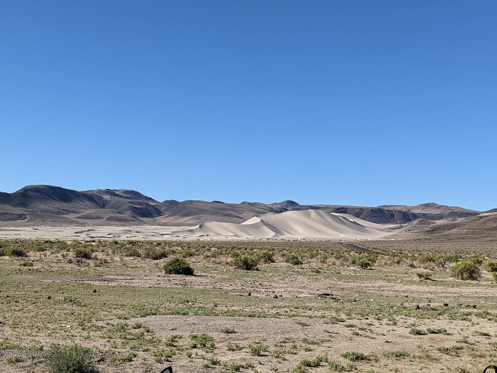
A few minutes later I passed by Sand Mountain. It was something I did not expect to see in this environment.
I do not recall exactly where on US 50 but it was shortly after some signs for a navy facility and before Fallon. I saw some rocks laid out on the side appeared to spell a message but I was moving too quickly to read it. I finally made it Fallon and without my fuel indicator blinking! Success. My last fuel stop outside the great state of California. My stop for the evening to see family would be in, Sacramento. I finally deviated from US 50 and I was back on I-80 towards the Golden State.
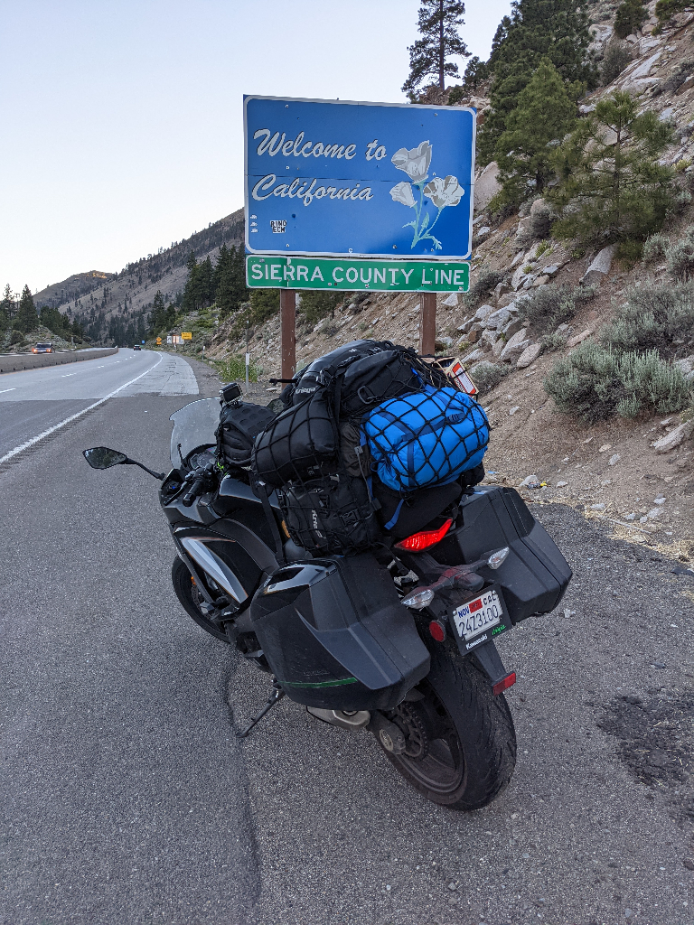
I finally made it back to the state where this journey began. I must confess a part of me worried (but also secretly hoped) that the Big One would finally strike California while I was away. I thought of the possibility returning to the western border of Nevada and seeing the ocean where California used to be, forcing me to be a dark wanderer with life now on the bike. This would also mean no more work, bummer.
I rode up through Tahoe National Forest covered in trees while the sun was setting. As the sun began to set the temperature dropped with it, and it was no longer a pleasant ride. Again, heated grips will be at the top of the list before my next tour. The last thing I want is to suffer a similar fate of the Donner Party.
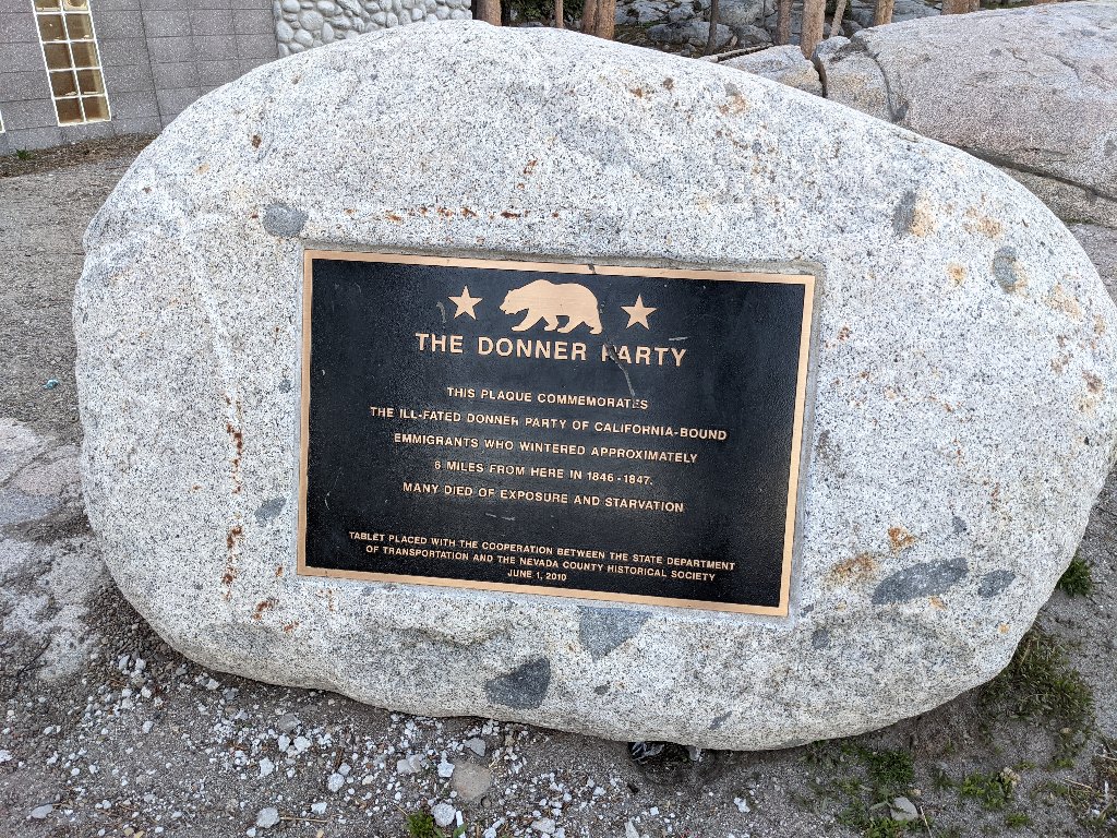
I eventually made it down the mountain and to a more comfortable temperature. I was looking forward to the prospect of lane sharing again, but there was not enough traffic to warrant it this evening. I finally made it into Sacramento for fuel ($4.799/gallon, how I have missed you California) and lodging. 689 miles or 12 hours and 39 minutes later I settled in at my destination. I had dinner with family and attempted to publish a couple posts. Ultimately I succumbed to sleep while typing away, againnnnnnnnnnnnnnn. So I finished this post when I woke up in the morning.